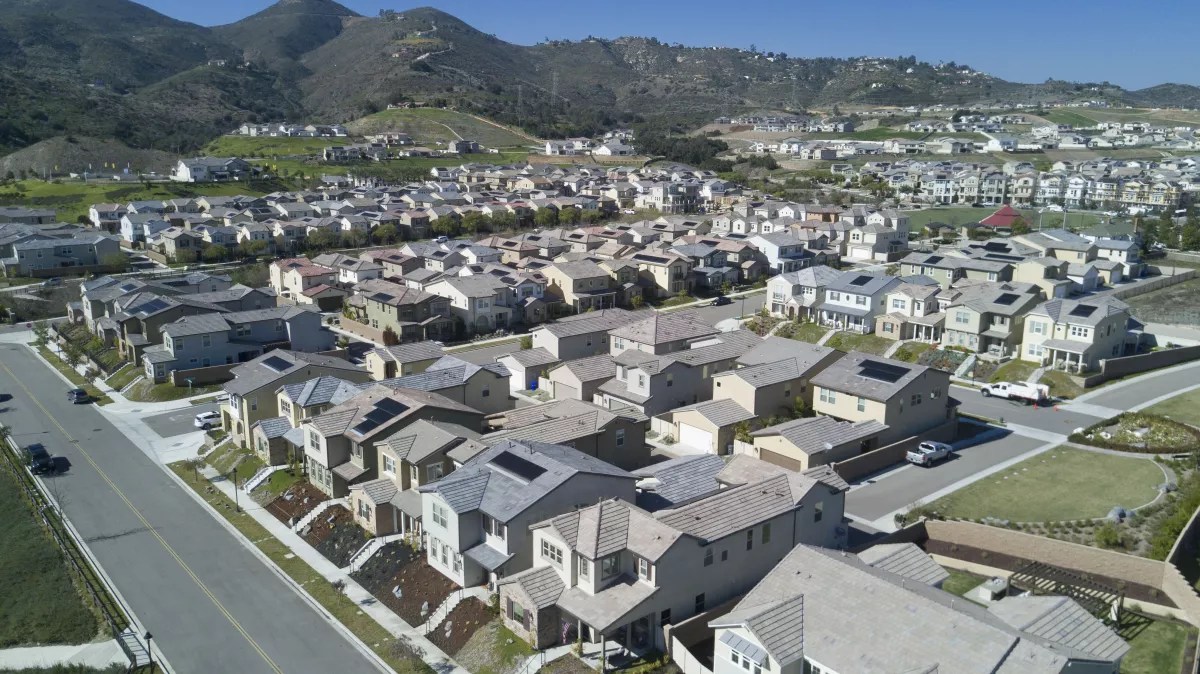
In 2002 – 2003, north county San Diego’s Harmony Grove was a chicken ranch that was closing due to Newcastle disease and would vacate 350-acres on the edges of Escondido and San Marcos. It is highly prone to Santa Ana wildfires traveling up the Elfin Forest’s Escondido Creek valley, from west to east. In 1996, a terrible fire roared up the valley and local residents were willing to trade a new well-connected, compact community, with homes on small lots, parks, and future shops with two roads in/out in case of wildfire, for the vacant chicken ranch. What they opposed was large-lot suburban sprawl on the hillsides that was more susceptible wildfire.
Working as a Project Manager on the General Plan update for the County of San Diego, we designed and entitled a village center, home of a new fire station. And we followed this wildfire adaptation audit process to harden the urban/wildfire edge by building with enhanced fire-safe codes, overlapping zones of defense around clustered compounds, enable firefighting from the roadway. Make space for wildland firefighting (no new sprawl) and structure firefighting in clustered compounds.
The only step missing is the administrative or by-right development process that fits into the original village plan. The images below are of our initial workshops with the community to envision what should be built and where, the diagrams and plans, and what’s there today, 20+ years later:

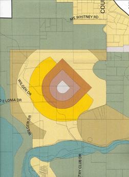


(from Fire Mitigation in the Wildland Urban Interface, Martin Dreiling, https://transect.org/modules.html)