


“A fundamental aspect of planning…is the disjuncture between individual rationality and collective rationality. […] In certain situations, individual preferences aggregated to a societal level produce illogical or undesirable outcomes, including rubber-necking delays on highways and hockey players’ reluctance to wear helmets. In such situations, if the group made a decision as a whole, it would be far different from the sum of the individual decisions of the members. In a market-oriented economy, planning’s reason for being is fundamentally tied to this disjunction between individual rationality and collective rationality.*
Isn’t that the role of planning in governing our cities, mediating short-term, long-term, and emergency decisions? Having a plan limits and manages risk in the market place by providing the vision, codes, and certainty to the legal entitlement process and economic responses to building the city. City building innovations and managing their risk set the baseline economic value for the market to respond to. Managing these elements is our city’s planning department’s policy and regulatory responsibility.
However, because creating a vision and then coding that vision is an iterative public and political process, the collective preference is usually at odds with the individual… be it the “no-change neighbor” or the “starry-eyed developer.” In the end, the built results illustrate the values of what our ‘group decision.’ We can drive along Harbor Drive to see the results of what San Diego collectively values over time (hotels, convention center, baseball parks, and other economic silver bullets).
I’ve previously written about Urban Design and Planning’s precarious position between a rock and a hard place in the City of San Diego here. After coffee last week with Michael Stepner, FAIA, FAICP, we came to the conclusion that San Diego’s planning history is actually a culture of trying to “get out of the way”. Our city leadership will support planning in good times, but then we are just as supportive of throwing it out in bad times. Mike‘s opinion was formed by seeing several iterations of its rise and demise over his award-winning career.

Stepner Experiencing a Re-Organization of Planning (image: MStepner)
My opinion of our planning-as-little-as-possible approach is formed by empirical observation and review of San Diego’s historical planning documents, and their negative connotations. Kevin Lynch and Donald Appleyard gave us, A Temporary Paradise?, with its title illustrating that San Diego is missing its opportunity to take advantage of our cultural and natural assets (canyons, border, bay). Plus, we started planning in 1908 with John Nolen stating upfront, “Notwithstanding its advantages of situation, climate, and scenery, San Diego is to-day neither interesting nor beautiful. Its city plan is not thoughtful, but on the contrary, ignorant and wasteful.” I get it.
We are still having a hard time with planning today as needed Community Plan Updates go through referendums and delays. Transit-Station Areas plans turn into protesting mobs fearful of 60-foot tall ‘towers of terror!’ And, add in the fact that two nationally-recognized urban planning / smart growth gurus, Bill Fulton and Bill Anderson, were un-ceremonially relieved of their planning director’s duties, its time for cultural shift of planning expectations here. That said, I am very fond of local planner, Jeff Murphy, and am pleased he accepted the director position this week.
Canadian planning director rock stars, Brent Toderian (Vancouver) and Jennifer Kasmit (Toronto), both recently stated that “Planning Directors need to be truth tellers.” Telling the truth builds trust, and it is trust that is lacking between San Diego and its professional planners. Our profession has historically been vilified as consultants to evil developers, administrators of wasteful regulations, and stooges for unjust political agendas. I get it.
Part of our cultural problem with planning is that in good economic times, San Diego historically tends to value planning as a tool to slow or mollify development spikes. For when money is flowing, it floods our city. And, in bad times, we eliminated planning for it then gets in the way of continues to slows any new building, because thats how it had been used before the sudden crash.
Therefore, we need to learn how to use planning as tool to guide our city buildings, and providing public services as well as limit private investment risks, in both good times and bad. This change will take a cultural shift, and it takes time cultivate culture. The following points are how I think we can start this shift:
REALLY LEARN FROM DOWNTOWN
No, I do not mean scatter downtown’s high-design residential towers across the city (we tried that 40 years ago and it got us the 30-foot height limit along the coast). I mean review the tools that changed its culture from a 9-to-5 business district into mixed-use, more walkable urbanity. The tools were a carefully localized zoning tool (its PDO), a defensible environmental document, and a predictable permitting process.
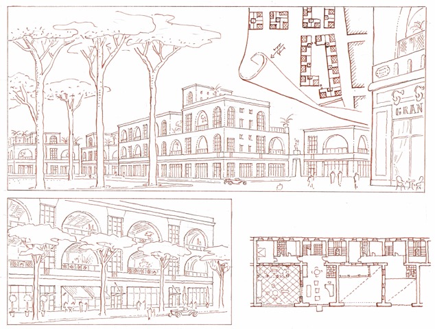
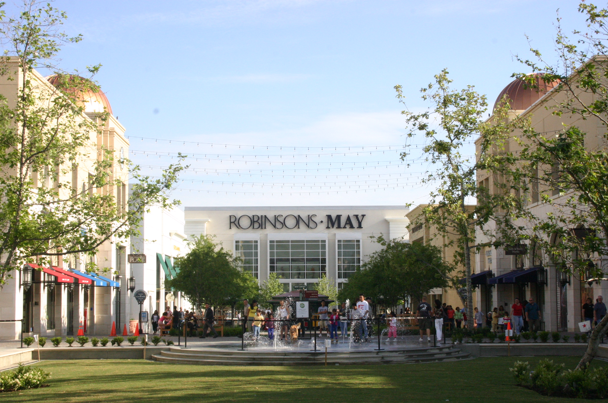
Throughout the rest of San Diego, we have a problem with implementing our big policy documents (General Plan, Community Plans, TOD Guidelines, Climate Action Plan) because we then treat everything at zoning/regulation level with a one-size-fits-all approach. One of downtown’s best lessons is the value of detailed plans and planning at the neighborhood scale. As a matter of fact, today’s Community Plan updates are replacing local PDOs that need to be updated for new city-wide zoning. Downtown should teach us to avoid this approach and try to localize our rules to better limit conflicts between neighbors over details such as how new buildings face onto the street and backs up its neighbor, and the character of that street, from Main Streets to quiet residential streets.

Streets are for cars, people, bikes, shops, homes…
LEADERSHIP NEEDS TO KNOW BEST PLANNING PRACTICES
We need our leadership to discuss where we are going with our city planned. It doesn’t happen in a vacuum. Today, we rely too much on our short-term political leadership to move projects from idea to building permit. And, without enough capacity to equitably provide the same attention to everyone, only a few get this excellent service.
Mr. Stepner reminded me that former Mayoral icon, Pete Wilson, set broad goals and used his professional staff to do their best duty of care to make the right decisions. These decisions use to be based on best practices and national models modified to the local context. Somehow we’ve lost that trust. I recommend our local professional and advocacy groups shift from preaching the choir to directly engaging local political leadership in lectures, workshops, and presentations on best practices from around the world (but don’t lose your 501c3 status).
PLANNING NEEDS TO KNOW BEST PLANNING PRACTICES
Ok, San Diego, we’ve got 1980 suburbia down… We know how to designated the use of a building, disclose its impacts on the environment, measure its Average Daily Trips, calculate the financing needed to build a new traffic signal at the intersection down the street these new trips will drive through, and collect Development Impact Fees for a future park that is expensive to build. While this system works well in a new residential pod out in Rancho del Rancho, it is impossible to use in our older, urban neighborhoods. This partially why our new policy goals mentioned above are difficult to implement. We’re using 20th century tools, such as land-use based zoning, to build a 21st century city. There are 21st century planning tools, such as context-sensitive, form-based, and place-based zoning tools and street typologies, available to make connections between policy and getting the places we want built.
In our market-oriented economy, we must shift our reluctance to plan towards being a tool that bridges our city’s ongoing disjunction between an individual’s wants and our collective needs.
*National ACIP Examination Preparation Course Guidebook, 2000




 Howard Blackson